
 The Indian Express ·
2.2 sq km of mountain face tore away, crashed into valley: How rock and ice triggered Nepal floods
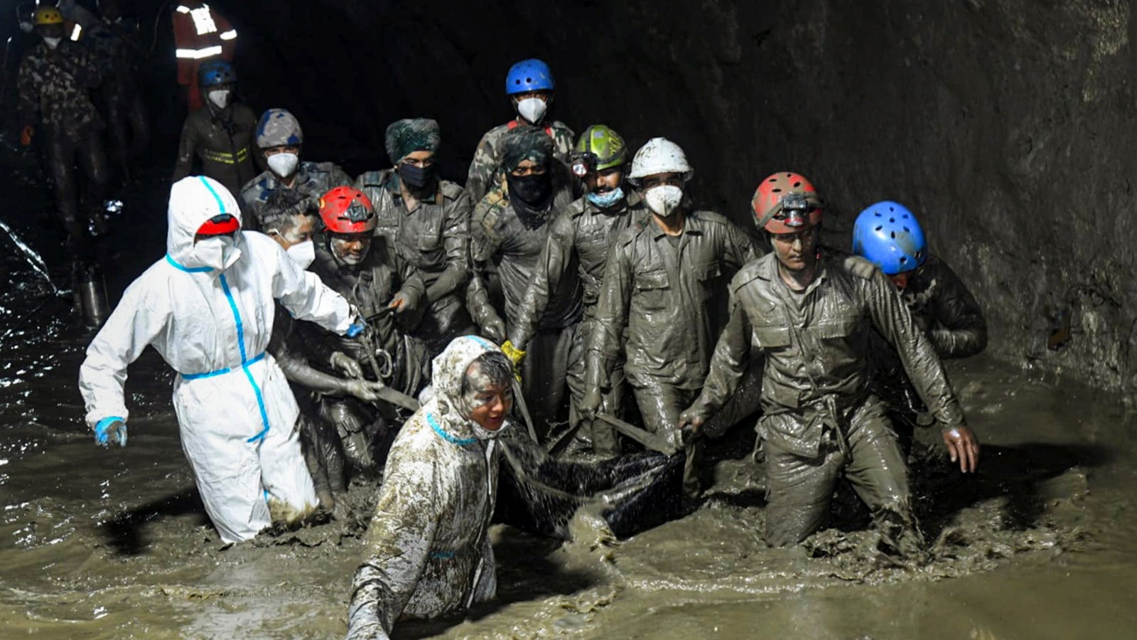
Tracking the cause of last month’s Nepal flash floods, a new study by a team of international scientists has said that an estimated 110 million cubic metres of rock and ice crashed down the Langtang Lirung peak, tearing off a huge part of the mountain’s northern face measuring 2.2 sq km in area, with a depth of 50 metres. It has said that rather than a single extreme weather event, this was likely caused by a “compound crisis” involving climatic and geological factors, worsened by the impacts of climate change.
To put the numbers in perspective, the area is roughly equivalent to 300 football fields, filled with rock and ice up to a depth of 50 metres. The World Weather Attribution (WWA) study has said that the rock and ice avalanche fell 1,400 metres from a height of 5,150 metres, before slamming into the valley floor, leading to an impact that got measured as a seismic shock of 5.2 magnitude.
The WWA is an international scientific collaboration, comprising a group of scientists who analyse and communicate the possible influence of climate change on extreme weather events.