 India Today ·
Science and technology
Heavy rain to knock on North, South and East India on Friday. Check forecast
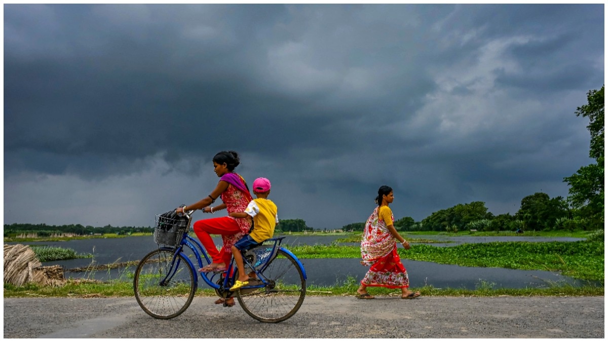
India could see another active monsoon day on September 18, even as the seasonal withdrawal is expected to begin from parts of Rajasthan on Saturday.
India is likely to see another day of active monsoon weather on Friday, September 18, with heavy rain forecast in parts of the eastern, northern and southern regions.
The India Meteorological Department (IMD), in its latest weather bulletin issued on Thursday, September 17, forecast heavy rainfall at isolated places across several states and Union territories.
Thunderstorms, lightning and gusty winds are also expected in parts of central and western India.
While rain activity remains strong in several pockets, the southwest monsoon is expected to begin withdrawing from parts of west Rajasthan around September 19.
WHERE WILL IT RAIN HEAVILY?
According to the IMD’s regional forecast for September 18, isolated places over Sub-Himalayan West Bengal, Sikkim, Bihar and Odisha are likely to receive heavy rainfall.
In southern India and the adjoining island regions, heavy rain is expected over Andaman & Nicobar Islands, Tamil Nadu, Puducherry and Karaikal, Kerala and Mahe, and Lakshadweep.
East Rajasthan in northern India is also likely to witness heavy rainfall at isolated places.
The forecast comes as several atmospheric systems continue to influence rainfall across the country, keeping monsoon conditions active in these regions.
Thunderstorms, lightning and gusty winds in several states.
The IMD has forecast thunderstorms accompanied by lightning and gusty winds over Andhra Pradesh, Telangana, West Madhya Pradesh, Chhattisgarh and Gujarat. Wind speeds in these regions may reach 30 to 50 kmph.
Meanwhile, Kerala is likely to experience hot and humid conditions throughout the day, adding to discomfort in these regions.
The ongoing rainfall is linked to several atmospheric systems that continue to influence weather across India.
Monsoon weather is shaped by systems such as cyclonic circulations and troughs. A cyclonic circulation is a rotating air system, while a trough is an elongated area of relatively low pressure that can help draw moisture into a region.
At present, a persistent low pressure area lies over Saurashtra and the adjoining Arabian Sea. An active monsoon trough also extends across the northern and eastern plains.
These systems continue to support moisture movement into interior parts of the country, contributing to rainfall activity.
An upper-air cyclonic circulation approaching from Southeast Asia is moving towards the North Andaman Sea.
According to the IMD, this system is expected to lead to the formation of a fresh low-pressure area around September 19 and is likely to intensify and move towards the Odisha and Andhra Pradesh coasts over the following days.
As these weather systems evolve, rainfall activity may continue across parts of eastern and southern India.
The southwest monsoon is also expected to begin its withdrawal phase from parts of West Rajasthan around September 19.
This will mark the beginning of the traditional seasonal transition over northwestern India, even as active monsoon systems continue to influence weather in other parts of the country.
For September 18, the IMD forecast points to a mix of heavy rain, thunderstorms, gusty winds and humid conditions across different regions, highlighting the continuing variation in monsoon weather as the month progresses.